
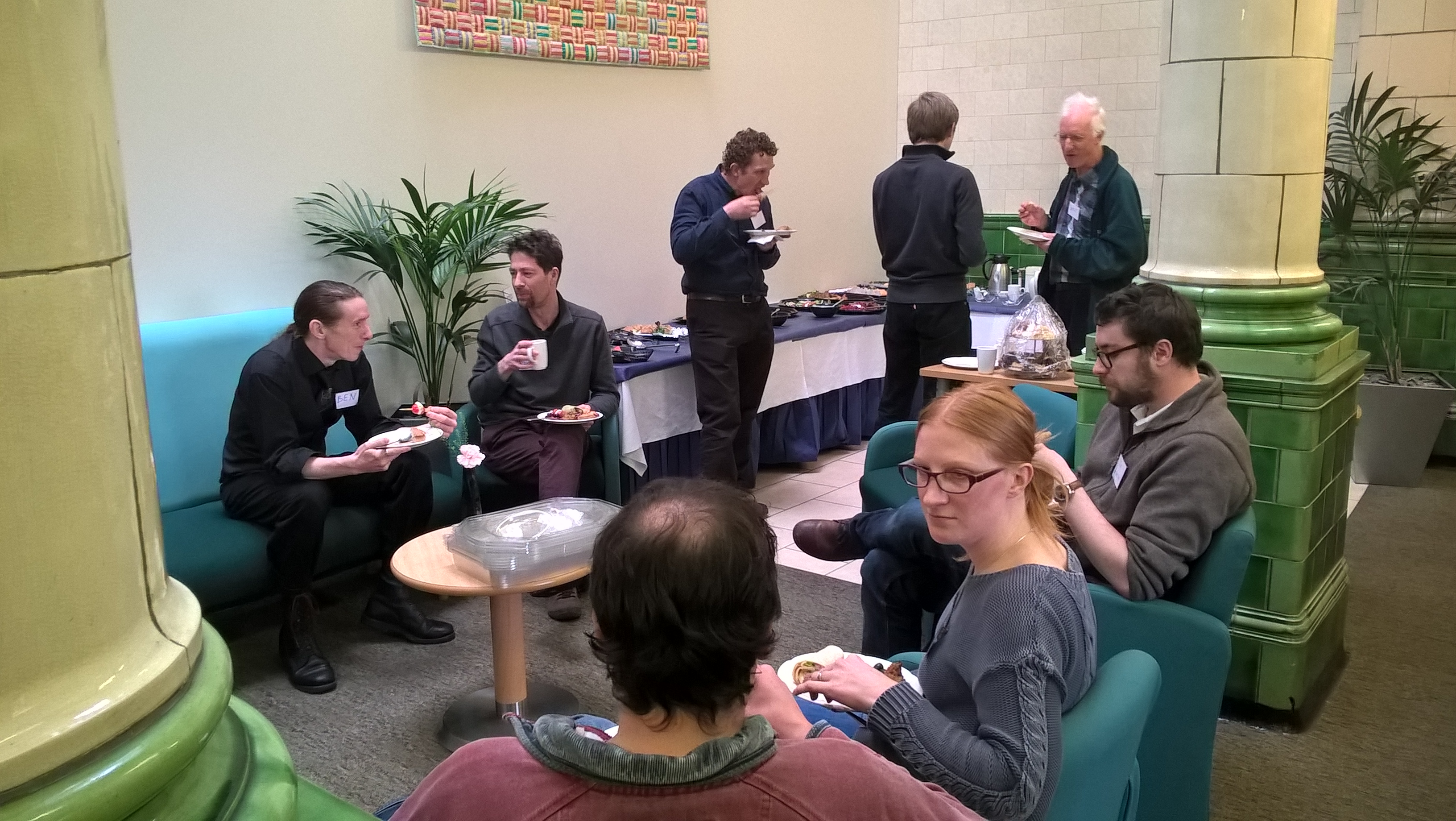
Network meeting 1 – 15th March 2016
The Condatis knowledge exchange project held its first networking meeting on 15th March 2016. The main focus of the meeting was to introduce the knowledge exchange project and to make sure the proposed plans were aligned with what will be most useful for users of Condatis and other habitat network models. The day started with short presentations from many network members about how habitat network models are being used or may be used in the future. The afternoon provided a forum to ask questions, and network with other users, as well as structured discussions to allow feedback about how the Condatis model and project are and can be most useful.
List of talks
Summary of discussions
Who was there
 |  |
Talks from members:
Click links for PDFs or download a zip file here.
Katherine Allen (University of Liverpool)
Welcome and introduction to the Condatis Knowledge Exchange Network. PDF
James Latham & Jonathan Rothwell (Natural Resources Wales)
Building resilience – new policy drivers for applying network mapping in Wales. PDF
Sarah Taylor & Humphrey Crick (Natural England)
Where does landscape-scale conservation go from here?
Using spatial data to explore climate change adaptation & ecological network planning. PDF
Katherine Hawkins (The Wildlife Trusts)
The Wildlife Trusts and ecological network mapping. PDF
Tim Graham (Yorkshire Wildlife Trust)
Contrasting opportunities: Yorkshire and Isle of Man. PDF
Matt Jones (Shropshire Wildlife Trust)
Landscape-scale conservation in the Meres & Mosses. PDF
David Crawshaw (Lancashire Wildlife Trust)
A Local Nature Improvement Area: Delivering a Living Landscape for Wildlife and People. PDF
Ben Wood (Warwickshire County Council)
Predicting national ecological flows at a regional scale. PDF
Frances Graham (Yorkshire Dales National Park Authority)
Northern Upland Chain LNP – A pragmatic approach to habitat network models. PDF
Micah Duckworth (Yorkshire Dales National Park Authority / University of Leeds)
Condatis project with the Yorkshire Dales National Park. PDF
Steven Ewing (RSPB)
Informing landscape-scale conservation at RSPB. PDF
Christian Andres (Research Institute of Organic Agriculture (FiBL))
Landscape connectivity analysis to reduce cocoa swollen shoot virus disease in Ghana. PDF
Jenny Hodgson (University of Liverpool)
Updates and developments with Condatis software.
Summary of discussions:
The group identified a variety of tools that are currently being used to support spatial decision making and assess habitat networks:
- Condatis
- RangeShifter
- Fragstats
- Hanski connectivity index
- Forest Research Habitat network Tool
- BEETLE
- Larch (Wageningen)
- Linkage mapper
- Circuitscape
- Marxan
- Zonation
- RAMAS GIS
- In house models
- ROBOFF
- NBCCVA (Natural England)
The most important questions or features a habitat network model should answer or include were identified as (numbers indicate which of the methods listed above can currently address the question):
- What are the connections of national importance? (1, 9)
- What is the measured change in connectivity? (1, 9, 15)
- What happens in different scenarios? (all)
- Where should we spend limited resources to enhance connectivity? (1, 5, 10, 11, 15)
- Which site will be most effective in permitting movement across landscape? (1, 6)
- What are the most important sites for restoration / condition improvement? (10)
- What is the importance of patches? (none)
- What are the most vulnerable points in the network? (1, 4, 11, 15)
- What level of biological realism is required? (2, 12)
- How to consider intensively used land in the model (5, 6, 9, 13)
- Prioritise workload – e.g. talk to landowners / object to planning application / practical conservation work (14)
- Weightings for extent (5, 2, 12), condition (2, 12), connectivity (1), diversity (all – 13)
- Is it applicable across a range of scales? (can be tested in many listed models but guidance is needed)
- Identify areas of multiple benefits, e.g.:
- ecosystem services
- habitats (5, 6, 10, 11, 15)
- Software to be self-contained, not to rely on other software packages
- Minimise number of steps required
The best current sources of information are:
- Other people
- Tools websites, published papers
- NBN repository of biodiversity data
- Local biological records centres
- National Park Authority
- Natural England priority habitat inventory – to fill gaps
- Data released through INSPIRE regulations
- Environment Agency
- GEOSTORE
- Ordnance Survey data
- DEFRA data
- GIS forums – help with doing things in GIS
- Computational group at BES doing “how to” guide, but practical side isn’t there (a)
The biggest barriers stopping participants using the available tools are:
- GIS capability and confidence
- Time
- Understanding outputs, terminology and capabilities of different tools
- IT equipment
- Dataset existence, availability, up to date
- Availability of training courses
- Support from organisation
In order to be effective, the Condatis network should:
- Produce and make available simple “how to” docs, output from meetings and success stories
- Address terminology issues
- Publish a regular newsletter/blog
- List useful resources, data
- Continued communication on workshops, courses, developments
- Publish information that helps advocate and give credibility to ecological networks
- Compare different tools
- List of system requirements to run it
- How outputs from models are used and received by audiences
- Publish case studies, including ground-truthing of outputs, to demonstrate value
- Maintain a network of users to support each other, share what others are doing and best practice
- Maintain regular forum activity and publicise it in advance where possible
- Understand users and how best to use social media networks such as Linked-In groups, Twitter and Facebook
- Maintain and use mailing list
- Bring new people in, including those from different disciplines and complimentary networks
- Hold open, relevant face to face meetings, teleconferences, webinars regularly
- Not generate SPAM
Who was there:
| Name | Organisation | |
|---|---|---|
| Daniel | Alexander | Salford University |
| Jamie | Alison | University of Liverpool |
| Katherine | Allen | University of Liverpool |
| Christian | Andres | Research Institute of Organic Agriculture (FiBL) |
| Jim | Atherton | University of Liverpool |
| Tom | Butlin | The Mersey Forest |
| David | Crawshaw | Lancashire Wildlife Trust and Great Manchester Wetlands NIA |
| Micah | Duckworth | Yorkshire Dales National Park Authority / University of Leeds |
| Steve | Ewing | RSPB |
| Fran | Graham | Yorkshire Dales National Park Authority |
| Tim | Graham | Yorkshire Wildlife Trust |
| Katherine | Hawkins | The Wildlife Trusts |
| Jenny | Hodgson | University of Liverpool |
| Claire | Install | Leicestershire and Rutland Wildlife Trust |
| Matt | Jones | Shropshire Wildlife Trust |
| Helen | Lacy | Cheshire West and Chester Council |
| Jim | Latham | Natural Resources Wales |
| Beth | Phythian | Natural England/Manchester Metropolitan University |
| Jonathan | Rothwell | Natural Resources Wales |
| Sarah | Taylor | Natural England |
| Ben | Wood | Warwickshire County Council |
We will follow up on the suggestions and comments from the discussions by updating the website with the identified requirements and modifying our plans for the project. Participants and those who could not attend are invited to continue to provide feedback on the project and how it can be most useful.
We look forward to seeing many of you again along with many new faces at the next meeting. Thanks for a really helpful and productive meeting!