“To date we haven’t found a method for measuring the relative benefits of several potential creation or restoration sites or for measuring a change in coherence, resilience or connectivity following work on the ground. However, it is apparent that Condatis has the potential to provide a valid and robust method of doing these tasks. Furthermore, Condatis can offer many additional benefits to us.” F. Graham, Yorkshire Dales National Park Authority
 Buglife used Condatis to assess the current connectivity of proposed corridors for their “B Lines” project, and to identify where small patches of habitat creation would result in a major increase in connectivity for pollinator species across the landscape of North West England. View
or download the case study pdf.
Buglife continue to use Condatis as an integral part of their “B Lines” project mapping methodology: Mapping B-Lines in Northumberland , Mapping B-Lines in Kent and Sussex
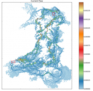
 Natural Resources Wales used Condatis to show connectivity pathways between areas of broadleaved woodland throughout Wales with the aim of looking at long-distance species movement across the axis of likely climatic change. View or download the case study pdf
Natural Resources Wales have made Condatis a part of their 2015/16 Business Plan. NRW Business Plan 2015/16
Some other projects using Condatis:
Natural England have discussed the use of Condatis as one of the analytical tools in their Habitat Fragmentation Theme Plan for Natura 2000 sites. Habitat Fragmentation Theme Plan. Natural England and others are also closely involved with the Knowledge Exchange Network
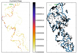
 The RSPB Centre for Conservation Science trialled using Condatis as a tool to optimise habitat networks for capercaillie and black grouse. See a summary of their project aims: Designing landscape-scale solutions for climate change adaptation


