
“To date we haven’t found a method for measuring the relative benefits of several potential creation or restoration sites or for measuring a change in coherence, resilience or connectivity following work on the ground. However, it is apparent that Condatis has the potential to provide a valid and robust method of doing these tasks.”
F. Graham, Yorkshire Dales National Park Authority
Condatis users are interested in making better decisions concerning the conservation and restoration of habitats, by accounting for habitat network connectivity. This is important because climate change and other pressures force species to move across landscapes, and fragmented habitat networks limit the ability of species to undertake such shifts.
Condatis helps to identify the best locations for habitat creation or restoration to enhance our existing fragmented habitat networks and increase connectivity across landscapes. You can use the tool online for free at webapp.condatis.org.uk.
Condatis quantifies connectivity in the habitat network at distances much larger than one individual can travel. One of the key differences between Condatis and other connectivity models is that habitat drives species’ reproduction, not only providing stepping stones for movement. A more detailed explanation of the methods can be found here.
Key features of Condatis – with examples
Here’s how Condatis has been used to support decisions about the landscape. With each major function of the software we give some examples:
Identify routes providing long-distance connectivity
Condatis can be used to prioritise conservation efforts on the habitat patches that are facilitating movement.
This page summarises two projects that used Condatis to inform conservation decisions: Examples of using Condatis to plan Conservation.
Identify where restoration of habitat could enhance connectivity
The Northern Forest project used Condatis to identify areas where the planting of trees would have maximum impact on the habitat network.
Read more about the use of Condatis in restoration-focussed projects here: Examples of using Condatis to plan Restoration.
Determine the success of efforts to join up ecological networks connectivity
Condatis can be used to quantify overall connectivity of a habitat network, and how this changes over time.
Read about how Condatis can be used as an indicator here: Co-designing an Indicator of Habitat Connectivity for England.
Pinpoint areas where “bottlenecks” restrict habitat connectivity
In collaboration with Natural England, Condatis has been used to produce national maps of the most significant bottlenecks in priority habitats.
You can read the Natural England report here: Informing nature recovery in England by analysing “bottlenecks” in broad habitats.
Help to minimise the disruption to connectivity caused by development
Condatis has been used (along with other spatial data) to assess measures to mitigate the impact of High Speed Two rail project on habitat connectivity.
Condatis has been validated
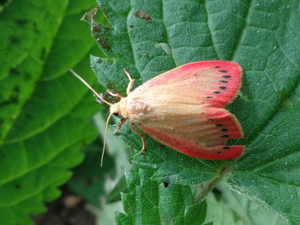
Condatis can help predict actual rates of range expansion. This correlation was evidenced in a study comparing Condatis’s ‘speed’ metric with observed range expansion by woodland-associated British moth species over ~40 years.
Information / inputs required to use Condatis:
Using Condatis online is free! (webapp.condatis.org.uk) And it’s straightforward—only a habitat map and some basic assumptions are needed. Specifically, assumptions about the direction of travel and the lifetime dispersal distances of the species you are interested in. The simplicity of these requirements makes Condatis an attractive tool for users of all levels.
Things to be aware of prior to using Condatis:
Condatis is analysis software, it does not include built-in data. While we can provide recommendations for compatible data, users need to have their own geographic information system (GIS) software to complement Condatis. It is important to note that Condatis does not provide built-in predictions about future climate changes or other environmental shifts.
Training for using Condatis is available for free. Links to training resources and further guidance are accessible here.